StoryMaps
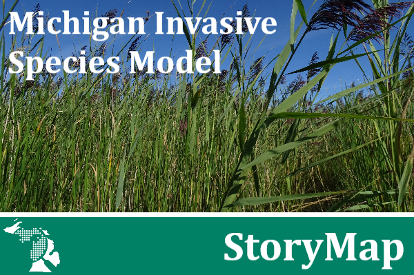
Michigan Invasive Species Model

Using a spatial multicriteria modeling framework, we have developed a model that facilitates prioritization of invasive species treatment on state lands in Michigan. The invasive species treatment prioritization model is a useful tool to provide resource managers with information about where to manage for invasive species on state lands for the benefit of native biodiversity at multiple scales.
Michigan Prescribed Fire Model

We have developed a dynamic ecological fire needs assessment model that can be used to look at trends at multiple scales, to illustrate both site-specific management opportunities as well as regional patterns. This StoryMap breaks down the model framework, highlights regional results across the state, and connects you with the model application to explore the data.
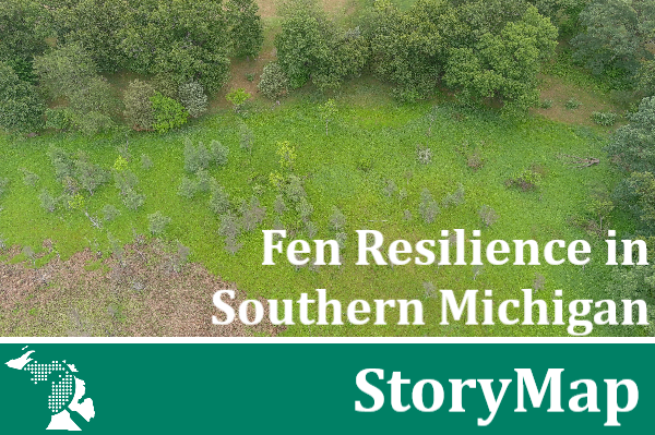
Fen Resilience in Southern Michigan

For over four decades, MNFI scientists have worked to understand and protect the federally endangered Mitchell's satyr butterfly. Explore this StoryMap to learn how we have worked in partnership with other conservation organizations in Michigan to protect one population of this special butterfly.
Conserving Michigan's Biodiversity Together

Michigan Natural Features Inventory is a member of the NatureServe Network and supports the Michigan Natural Heritage Database through data collection and maintenance. In this StoryMap, you'll learn how you can collect biodiversity data to contribute to the database using the Survey123 app.
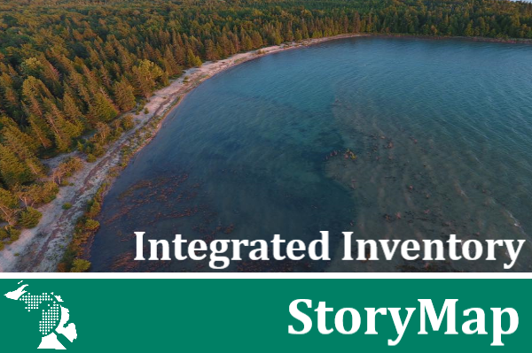
Integrated Inventory

MNFI's Integrated Inventory is a comprehensive ecological survey effort of state and public lands that began in 2009 in partnership with the Michigan Department of Natural Resources Wildlife Division. This StoryMap provides an overview, dives into the different stages of this work and highlights past reports.

